Log in
All resources
Create a design
Tools
7,171 Free Images of Atlas Map
joan blaeu
copper engraving print
british library
1667 maps
atlas maior, vol 6 (scotland and ireland) - joan blaeu, 1667 - bl 114.h(star).6
maps of paris from the david rumsey historical map collection
turgot map of paris, david rumsey historical map collection
david rumsey historical map collection
maps
atlas maior, vol 5 (england) - joan blaeu, 1667 - bl 114.h(star).5
maps of paris from the david rumsey historical map collection
turgot map of paris, david rumsey historical map collection
maps of paris from the david rumsey historical map collection
turgot map of paris, david rumsey historical map collection
maps of paris from the david rumsey historical map collection
turgot map of paris, david rumsey historical map collection
maps of paris from the david rumsey historical map collection
turgot map of paris, david rumsey historical map collection
maps of paris from the david rumsey historical map collection
turgot map of paris, david rumsey historical map collection
maps of paris from the david rumsey historical map collection
turgot map of paris, david rumsey historical map collection
maps of paris from the david rumsey historical map collection
turgot map of paris, david rumsey historical map collection
maps of paris from the david rumsey historical map collection
turgot map of paris, david rumsey historical map collection
maps of paris from the david rumsey historical map collection
turgot map of paris, david rumsey historical map collection
maps of paris from the david rumsey historical map collection
turgot map of paris, david rumsey historical map collection
maps of paris from the david rumsey historical map collection
turgot map of paris, david rumsey historical map collection
maps of paris from the david rumsey historical map collection
turgot map of paris, david rumsey historical map collection
atlas maior, vol 6 (scotland and ireland) - joan blaeu, 1667 - bl 114.h(star).6
1667 maps
atlas maior, vol 5 (england) - joan blaeu, 1667 - bl 114.h(star).5
17th-century maps of lancashire
atlas maior, vol 6 (scotland and ireland) - joan blaeu, 1667 - bl 114.h(star).6
1667 maps
1660s maps of spain
1667 maps
atlas maior, vol 6 (scotland and ireland) - joan blaeu, 1667 - bl 114.h(star).6
1667 maps
atlas maior, vol 5 (england) - joan blaeu, 1667 - bl 114.h(star).5
1660s maps of wales
atlas maior, vol 11 (asia) - joan blaeu, 1667 - bl 114.h(star).11
1667 maps
atlas maior, vol 6 (scotland and ireland) - joan blaeu, 1667 - bl 114.h(star).6
1667 maps
atlas maior, vol 6 (scotland and ireland) - joan blaeu, 1667 - bl 114.h(star).6
1667 maps
atlas maior, vol 3 (germany) - joan blaeu, 1667 - bl 114.h(star).3
old maps of moravia
atlas maior, vol 6 (scotland and ireland) - joan blaeu, 1667 - bl 114.h(star).6
1667 maps
atlas maior, vol 5 (england) - joan blaeu, 1667 - bl 114.h(star).5
old maps of the channel islands
atlas maior, vol 11 (asia) - joan blaeu, 1667 - bl 114.h(star).11
1667 maps
atlas maior, vol 6 (scotland and ireland) - joan blaeu, 1667 - bl 114.h(star).6
1667 maps
atlas maior, vol 6 (scotland and ireland) - joan blaeu, 1667 - bl 114.h(star).6
1667 maps
atlas maior, vol 5 (england) - joan blaeu, 1667 - bl 114.h(star).5
17th-century maps of westmorland
atlas maior, vol 5 (england) - joan blaeu, 1667 - bl 114.h(star).5
17th-century maps of huntingdonshire
atlas maior, vol 6 (scotland and ireland) - joan blaeu, 1667 - bl 114.h(star).6
1667 maps
atlas maior, vol 6 (scotland and ireland) - joan blaeu, 1667 - bl 114.h(star).6
1667 maps
atlas maior, vol 5 (england) - joan blaeu, 1667 - bl 114.h(star).5
17th-century maps of leicestershire
atlas maior, vol 6 (scotland and ireland) - joan blaeu, 1667 - bl 114.h(star).6
1667 maps
atlas maior, vol 6 (scotland and ireland) - joan blaeu, 1667 - bl 114.h(star).6
1667 maps
atlas maior, vol 5 (england) - joan blaeu, 1667 - bl 114.h(star).5
17th-century maps of glamorgan
atlas maior, vol 9 (italy) - joan blaeu, 1667 - bl 114.h(star).9
1667 maps of italy
atlas maior, vol 5 (england) - joan blaeu, 1667 - bl 114.h(star).5
17th-century maps of yorkshire
atlas maior, vol 6 (scotland and ireland) - joan blaeu, 1667 - bl 114.h(star).6
1667 maps
atlas maior, vol 4 (netherlands) - joan blaeu, 1667 - bl 114.h(star).4
1667 maps
history of brazil
coasts of brazil
atlas maior, vol 5 (england) - joan blaeu, 1667 - bl 114.h(star).5
17th-century maps of brecknockshire
atlas maior, vol 6 (scotland and ireland) - joan blaeu, 1667 - bl 114.h(star).6
1667 maps
atlas maior, vol 6 (scotland and ireland) - joan blaeu, 1667 - bl 114.h(star).6
1667 maps
atlas maior, vol 7 (france i) - joan blaeu, 1667 - bl 114.h(star).7
1667 maps
atlas maior, vol 9 (italy) - joan blaeu, 1667 - bl 114.h(star).9
1667 maps of italy
atlas maior, vol 6 (scotland and ireland) - joan blaeu, 1667 - bl 114.h(star).6
1667 maps
atlas maior, vol 12 (america) - joan blaeu, 1667 - bl 114.h(star).12
1667 maps
atlas maior, vol 11 (asia) - joan blaeu, 1667 - bl 114.h(star).11
1667 maps
atlas maior, vol 9 (italy) - joan blaeu, 1667 - bl 114.h(star).9
1667 maps of italy
atlas maior, vol 10 (spain and africa) - joan blaeu, 1667 - bl 114.h(star).10
1667 maps
atlas maior, vol 5 (england) - joan blaeu, 1667 - bl 114.h(star).5
17th-century maps of hertfordshire
atlas maior, vol 7 (france i) - joan blaeu, 1667 - bl 114.h(star).7
1667 maps
atlas maior, vol 12 (america) - joan blaeu, 1667 - bl 114.h(star).12
1667 maps
atlas maior, vol 10 (spain and africa) - joan blaeu, 1667 - bl 114.h(star).10
1667 maps
atlas maior, vol 4 (netherlands) - joan blaeu, 1667 - bl 114.h(star).4
1667 maps
atlas maior, vol 6 (scotland and ireland) - joan blaeu, 1667 - bl 114.h(star).6
1667 maps
historisk atlas (stockholm, norstedt & söner, 1880)
old maps of the polish-lithuanian commonwealth
old maps of friuli-venezia giulia
maps of carniola
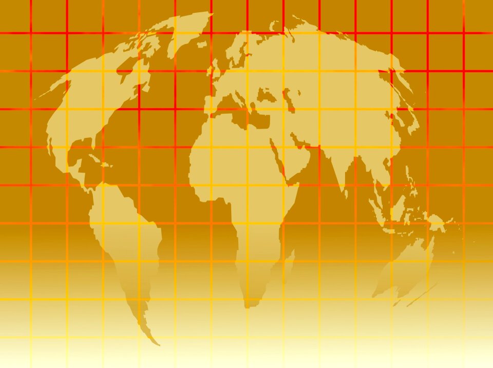
continent
maps
continent
maps
continent
maps
continent
maps
atlas van der hagen (volume 4)
atlas van der hagen
gemeente atlas van nederland - south holland
1860s maps of south holland
gemeente atlas van nederland - south holland
maps of 's-gravenzande
siege of geertruidenberg 1593
maps of geertruidenberg
maps of oudenaarde city walls
old maps of oudenaarde
gemeente atlas van nederland - north brabant
demen
gemeente atlas van nederland - south holland
maps of hellevoetsluis
lucas janszoon waghenaer
bretagne in the 1580s
old maps of westphalia
bindenschild
atlas des anciens plans de paris by imprimerie nationale, 1880 from the musée carnavalet
maps of paris from paris musées
maps of werkendam
maps of dussen
maps by john cary
1799 maps
old maps of the county of ravensberg
atlas novus (blaeu)
maps by john cary
1801 maps
icons
symbol
school
maps
old maps of groningen (province)
maps by christian sgrothen
maps of paris from the david rumsey historical map collection
maps of paris by caspar merian
maps of the history of denmark
old maps of scandinavia
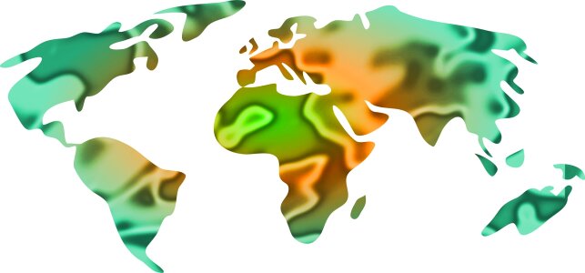
earth
maps
17th-century fortress plans
atlas van loon
topographischer atlas der schweiz
mur (dit) d'hannibal
maps by willem and johannes blaeu
1680s maps of brazil
old maps of namur (province)
coats of arms on maps
coats of arms on maps
ships on maps
maps by willem and johannes blaeu
1640 maps
atlas maior, vol 6 (scotland and ireland) - joan blaeu, 1667 - bl 114.h(star).6
1667 maps
continent
maps
continent
maps
atlas van loon
maps of sieges
atlas maior, vol 12 (america) - joan blaeu, 1667 - bl 114.h(star).12
1667 maps
gemeente atlas van nederland - south holland
old maps of gorinchem
gemeente atlas van nederland - south holland
maps of maassluis
gemeente atlas van nederland - north holland
maps of haarlemmermeer
atlas van loon
1664 maps
maps of aire-sur-la-lys city walls
old maps of aire-sur-la-lys
novus atlas sinensis
old maps of guangxi
maps made in the 17th century
forts in the netherlands
1801 - 1900 of 7,171
Next page
/ 72


![[Map of the castellania of Gent], Joan Blaeu, 1667](https://cdn.creazilla.com/illustrations/10000630608/map-of-the-castellania-of-gent-joan-blaeu-1667-md.jpg)